
In the digital age, where maps are at our fingertips, measuring distances accurately has never been more accessible. Google Maps, a ubiquitous navigation tool, is not just for finding directions; it’s a powerful resource for measuring distances and areas. Whether you’re a traveller planning your route or a land developer surveying a property, understanding how to measure distance on Google Maps can be a game-changer. In this comprehensive guide, we will explore various methods and tools available, ensuring you become proficient in distance measurement on Google Maps.
Understanding the Basics of Measure distance on Google Maps
Before diving into the techniques, it’s essential to comprehend the basics. Google Maps allows users to measure straight-line distances and areas, providing precise calculations for any route or geographical location.
How to Measure Distance on Google Maps on laptops:
Google Maps offers a user-friendly interface to measure distances.
- Click on measure distance: Right-click on the starting point and select “Measure Distance.”
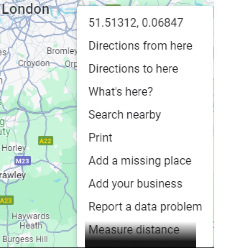
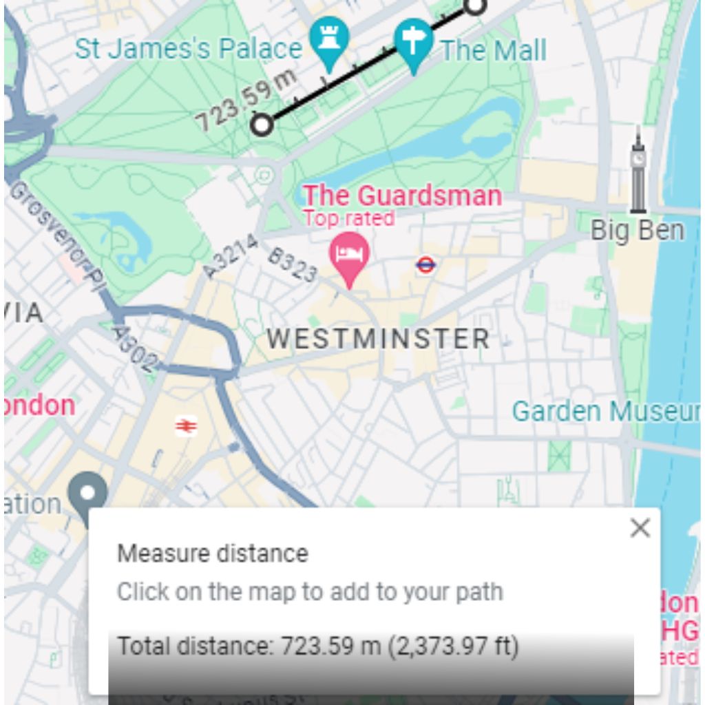
- Subsequent points: Click on the subsequent points along your desired route, and Google Maps will display the total distance in your preferred unit of measurement – whether kilometres, miles, or metres.
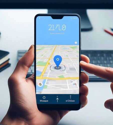
Utilising Google Maps on Mobile Devices:
On mobile devices, measuring distances is just as straightforward.
- Long-press on the starting point, drop a pin.
- select “Measure distance.”
- Continue dropping pins to outline your route, and Google Maps will calculate the total distance accurately.
Advanced Techniques: Measuring Areas and Hectares
Beyond measuring straight-line distances, Google Maps enables users to calculate areas – a crucial feature for fields such as real estate, agriculture, and urban planning. To measure an area, mark the perimeter of the space using the method above. Once the shape is closed, Google Maps will display the total area in square metres, kilometres, or acres.
- Measuring Hectares on Google Maps: For those dealing with large plots of land, understanding how to measure hectares on Google Maps is invaluable. After measuring the area, convert the unit to hectares by dividing the total area by 10,000 (since one hectare equals 10,000 square metres). This conversion ensures precise calculations, aiding farmers, environmentalists, and land developers.
- Measuring Distances in Metres: In specific scenarios, measuring distances in metres is vital, especially for urban planning and construction projects. Google Maps provides the option to measure distances in metres, allowing professionals to plan with unparalleled precision. By selecting the appropriate unit in the settings, users can ensure their measurements align with their project requirements.
Conclusion: Mastering Measure Distance on Google Maps
In conclusion, Google Maps offers a myriad of tools for measuring distances and areas accurately. Whether you’re a casual user planning your next road trip or a professional needing precise measurements for your projects, understanding how to measure distance on Google Maps is an invaluable skill. By utilising the techniques outlined in this guide, you can harness the full potential of Google Maps, making your navigation and planning tasks more efficient and precise than ever before.
I hope to be of assistance to you. Follow us and see how to measure things.
Other relevant keywords:
- Measure Google Map distance radius
- Measure Google Maps area
- Measure Google Map distance radius
Frequently Asked Questions (FAQs) About Distance Measurement on Google Maps
Can I measure distance on Google Maps using a smartphone or tablet?
Yes, absolutely. Google Maps allows users to measure distances both on desktop and mobile devices. On mobile devices, simply long-press on the starting point, drop a pin, and select “Measure distance” to begin.
Can you measure areas on Google Maps, and if so, how accurate are the calculations?
Yes, Google Maps enables users to measure areas accurately. By outlining the perimeter of the area you want to measure, the tool calculates the area in square metres, kilometres, or acres. The accuracy of the calculations is high, making it useful for various applications, including real estate and land development.
Can I change the unit of measurement from kilometres to miles or metres when measuring distance on Google Maps?
Yes, you can change the unit of measurement in Google Maps. In the settings, you can select your preferred unit, whether it’s kilometres, miles, or metres. This flexibility ensures that measurements align with your specific needs.*
Is there a limit to the distance or area I can measure on Google Maps?
While there is no strict limit to the distance you can measure on Google Maps, the tool may become less responsive for extremely long distances. For areas, the device can handle measuring large plots of land, making it suitable for various professional applications.
Can I measure distances in meters for precise planning and construction projects?
Yes, Google Maps allows users to measure distances in meters. By selecting the appropriate unit in the settings, professionals can ensure precise measurements for urban planning, construction projects, and other applications requiring high accuracy.
Does Google Maps offer the option to measure irregularly shaped areas, or is it limited to basic shapes?
Google Maps allows users to measure irregularly shaped areas. By dropping pins along the perimeter of the irregular shape, you can accurately measure the area, regardless of its shape or complexity.
Can I measure distance on Google Maps while offline?
No, the distance measurement features on Google Maps require an internet connection. Offline usage is limited to viewing saved maps and locations.
Can I save or export the measurements I make on Google Maps?
Currently, Google Maps does not offer a built-in feature to save or export the measurements directly. However, you can manually note the measurements or take screenshots for reference.
Can I measure distance on Google Maps using voice commands?
Currently, Google Maps does not support measuring distances using voice commands. Distance measurement is done manually by dropping pins and marking points on the map.
Is there a difference in the measurement accuracy between the desktop version of Google Maps and the mobile app?
The measurement accuracy remains consistent across both the desktop version and the mobile app of Google Maps. However, the user experience might vary slightly due to differences in interface and screen size.
Feel free to explore these features on Google Maps to enhance your navigation and planning experiences! For official documentation and detailed guides on using Google Maps features, visit the Google Maps Help Center. Stay updated with the latest enhancements and troubleshooting tips straight from Google.
Comments